 Pencil, watercolour on paper, 195 x 296 mm
Map: II
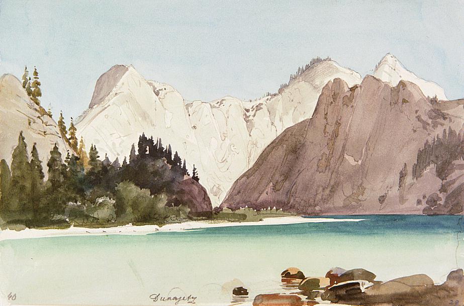
The Pieniny, the easternmost part of the Central Carpathians, form the border between the Zips region and Galicia. The 10 km long and 4 km wide mountain is intersected by the Dunajec in the south. Here the river flows in a beautiful gorge, enclosed by precipitous, jagged cliffs on both sides, which offers a welter of picturesque details. The Dunajec is a shallow and wide river; it becomes narrow only at the Červený Kláštor gorge. The Ligari and Sokolica rocks are a characteristic part of the gorge. The highest peak of the Pieniny is the Trzy Korony (982 m). - Bibliography: Kollár, Lazarek, Raisz, Vysoké Tatry 1958