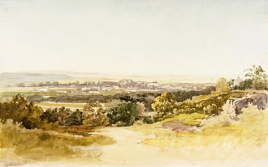
 Pencil, watercolour on paper, 327 x 525 mm
Map: IV
Užhorod with the wide plain of the Tisza. The 145 km long Už / Uh / Ung river that flows past the town takes its source in the Carpathians near Užok. It flows south-westwards, reaches the plain, and flows into the Laborec, which joins the Bodrog, which in turn empties itself into the Tisza. - For information on Užhorod, see: