 Pencil, watercolour on paper, 301 x 468 mm
Map: IV
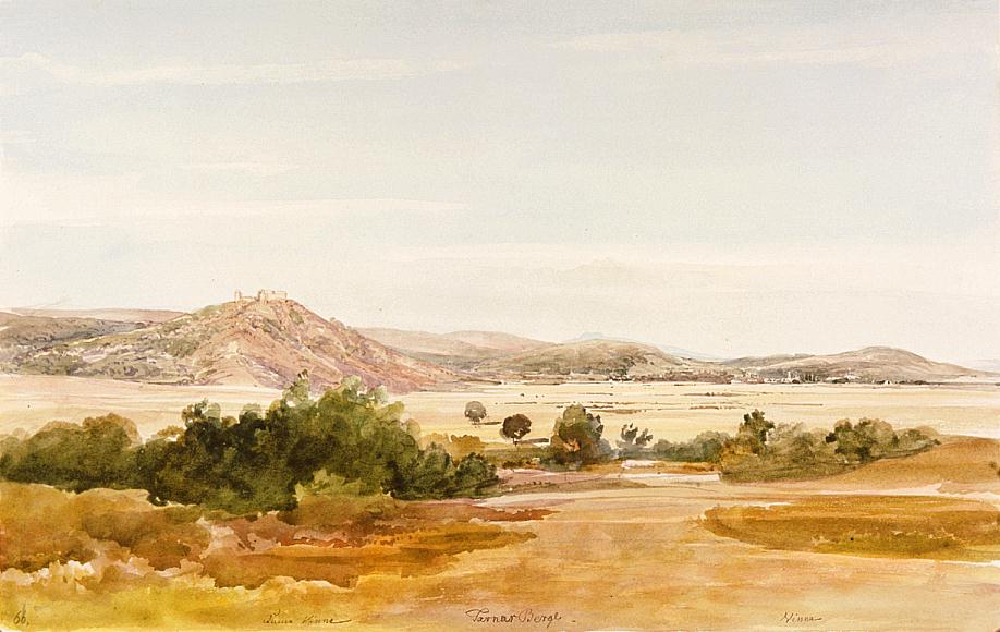
Here we see Vinné to the right, on the edge of the plain, and the far-off peak of the Vihorlat (1074 m) in the middle. The Vihorlat is the westernmost part of the Vihorlat-Gutin trachyte ridges. - Vinné / Vinna lies in the vicinity of Michalovce. In the 1850s it was a market town with 1000 Slovak and "Ruthenian" (i.e., Transcarpathian Ukrainian) inhabitants. The ruins of the Árpád-age Vinné (or Tarna) castle stand on a 325 m high hill above the village. Count János Waldstein owned a mansion in the village. - Bibliography: Fényes Elek, Mednyánszky 1829, Mednyánszky 1983