 Pencil, watercolour on paper, 297 x 466 mm
Map: IV
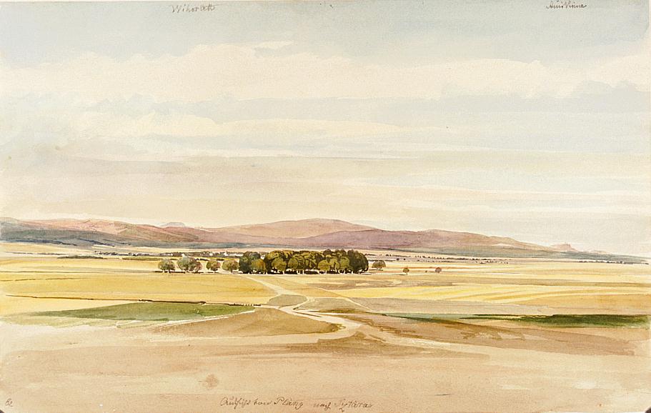
Staré village lies on the opposite bank of the Laborec, behind the trees. We see the top of the far-off Vihorlat to the left and the ruins of Vinné castle to the right. The landscape is viewed from the west, from the direction of Plány. - Staré / Sztára was a market town south of Humenné; it had 900, mostly Slovak, inhabitants in the 19th century. The Count Sztáray family had a beautiful mansion here. In the 1850s Count Albert Sztáray, brother-in-law of János Waldstein, owned the mansion. - Bibliography: Fényes Elek, Szabó Károly